Historical maps provide insight into how people in the past understood the world around them. In this lesson, students study two 17th-century maps of Virginia and think critically about how the differences in the maps reveal insights into how the English perspective on land and relations with Native Americans changed over time.
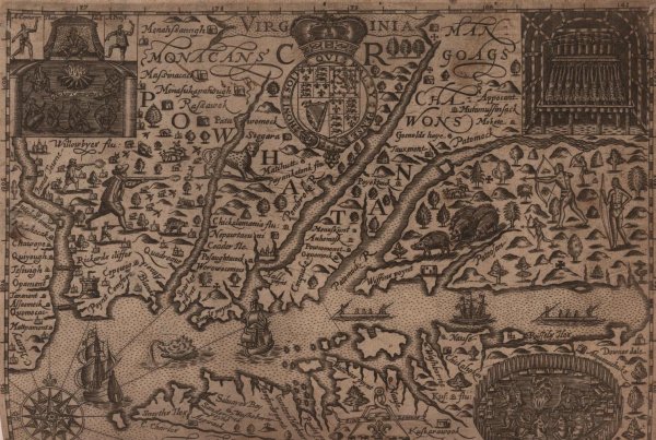
Image: Map of Virginia and Maryland by Gerhard Mercator, 1636. From the John Carter Brown Library.